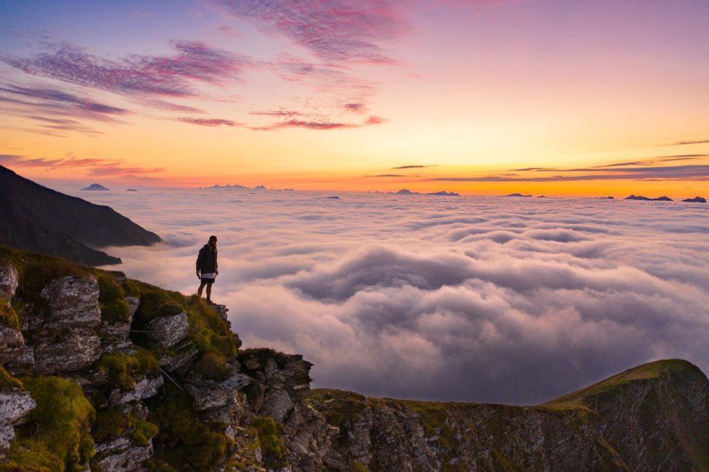
Nestled in the heart of Switzerland lies the captivating town of Interlaken, a true haven for hiking enthusiasts. During several weeks of summer exploration, I discovered Interlaken to be the perfect base for my hiking adventures. Not only is it conveniently located amidst a network of nearby trails, but it also serves as a gateway to several renowned hiking destinations within an hour’s reach by train. From the majestic landscapes of Grindelwald and the picturesque valleys of Lauterbrunnen to the charming villages of Murren and Thun, Interlaken offers access to a plethora of breathtaking experiences.
In crafting this Interlaken Hiking Guide, my aim is to showcase the diverse range of hiking trails that this region has to offer. Every trail mentioned here has been personally traversed by me, yet there are countless others awaiting your exploration. (I’ve even compiled a list of additional hikes near Interlaken for my future return.) Whether you’re a seasoned hiker or a newcomer to the trails, Interlaken promises an unforgettable journey amidst the unparalleled beauty of the Swiss Alps.
THE BEST HIKES NEAR INTERLAKEN
Discovering the scenic wonders around Interlaken is an adventure of its own. Below, you’ll find vivid descriptions and snapshots from each of the breathtaking hikes I embarked on during my time there. Additionally, you can access individual blog posts dedicated to each hike, offering detailed insights including maps, starting points, transportation tips, captivating photos, trail directions, difficulty levels, and personal anecdotes from my Interlaken hiking escapades.
As we delve into the Interlaken Hiking Guide, prepare to immerse yourself in a world of nature’s finest trails. Every hike featured here was personally traversed while I was based in Interlaken. Whether it’s the trails of Murren or the pathways of Lauterbrunnen, rest assured that I journeyed from Interlaken to embark on these adventures, returning by day’s end (unless, of course, an overnight stay at a mountain hut beckoned). Consider this guide your portal to the array of hikes awaiting those exploring Interlaken’s stunning surroundings.
HARDERGRAT TRAIL: A CHALLENGING ADVENTURE
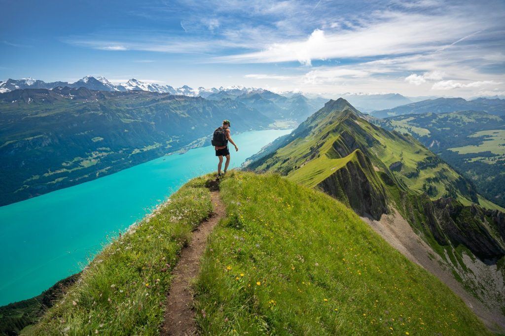
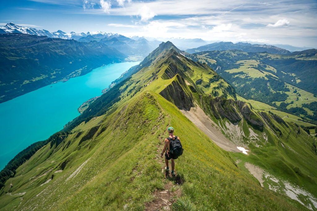
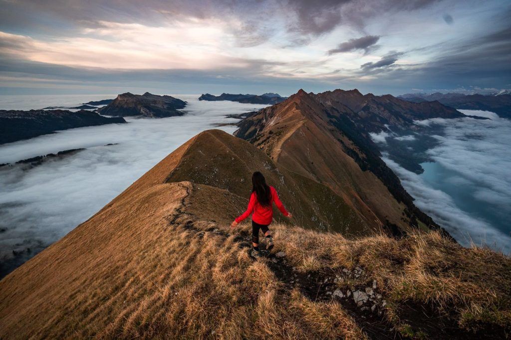
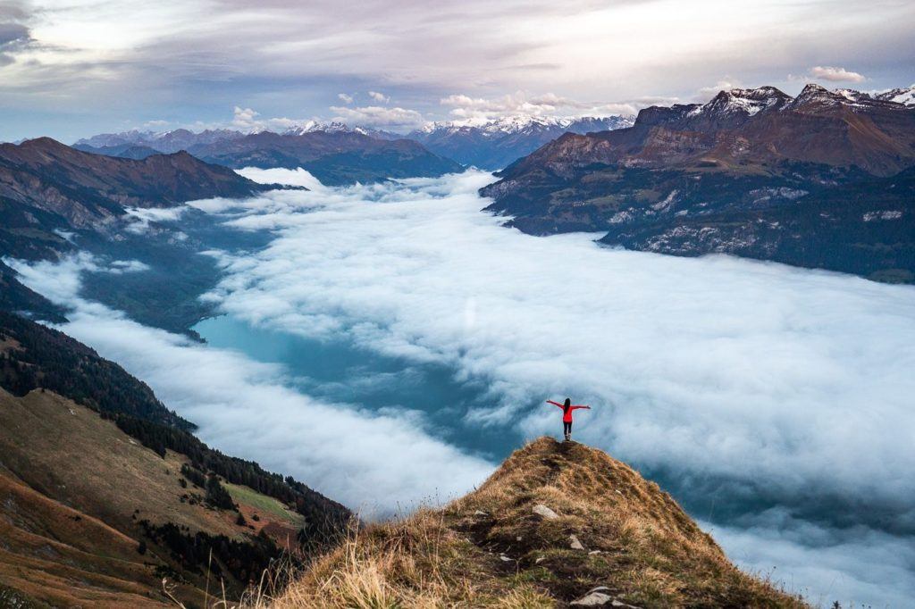
For those seeking an adrenaline-pumping challenge amidst the scenic wonders of Interlaken, the Hardergrat hike stands tall as a top contender. Renowned for its rugged terrain and thrilling risks, it beckons adventurers to test their mettle against nature’s forces. The journey commences at Brienz, tracing a daring path along the shores of the Brienzersee, culminating at the lofty heights of the Harder Kulm Station.
Seasoned hikers, well-versed in the ways of the trail, may conquer its twists and turns in roughly six hours. Yet, caution must be heeded, for this trail boasts perilous stretches with precipitous drops, especially treacherous when wet. Novice hikers are advised to seek alternative routes better suited to their skill level. For those opting to catch the train up from Brienz and back down from Harder Kulm, a brisk pace is essential to avoid missing the final departure. Should this fate befall you, brace for an additional 800 meters of downward trekking.
Optimal strategy calls for an early departure from Brienz, with the morning train offering a discounted fare. Ascend steadily towards Harder-Kulm Station, ensuring arrival in time for the return journey. Alternatively, intrepid adventurers may embark on an ambitious route, scaling from Brienzer Rothorn along the ridge to Harder Kulm Station, then descending towards Interlaken. Brace yourself for a grueling trek spanning nearly 30 kilometers, ascending over 3000 meters throughout the day. May fortune favor your bold expedition.
SCHYNIGE PLATTE TO FIRST HIKE: A SCENIC MARATHON
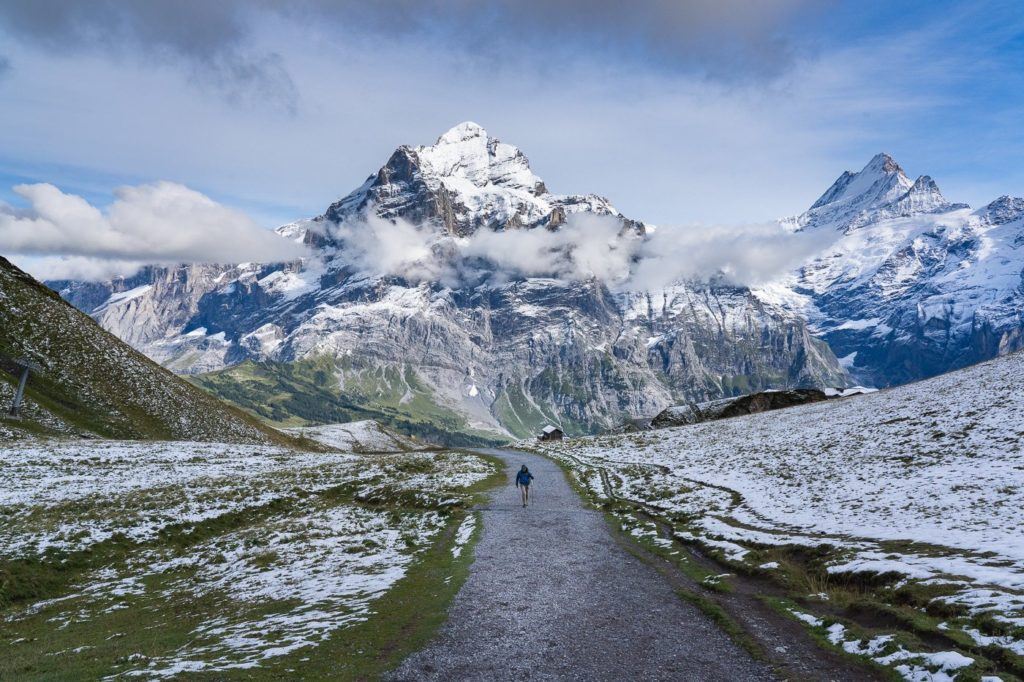
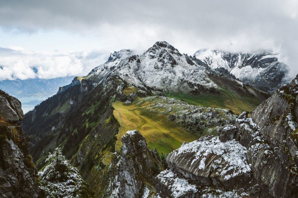
Embark on an unforgettable journey through the heart of Interlaken, tracing the trail from Schynige Platte to First via Faulhorn. This route promises a tapestry of breathtaking vistas at every turn, a visual feast for the intrepid soul. Prepare for an endurance test, as the path stretches over 16 kilometers with an ascent nearing 1000 meters. Lace up your hiking boots and steel yourself for a day of exhilarating exploration.
Upon reaching Faulhorn, a panoramic vista of unparalleled beauty awaits as your hard-earned reward. Treat yourself to a steaming bowl of soup and a rejuvenating cup of coffee, savoring the moment amidst nature’s grandeur.
Completing the trek in a nimble five hours is achievable, though bypassing Oberberg and Faulhorn may expedite your journey. Yet, the essence of this adventure lies in conquering those majestic peaks. Allow yourself a generous window of 5 to 7 hours for the hike, affording ample time to rest and relish a cozy interlude at Faulhorn.
A word of caution: the final cable car from First to Grindelwald ceases operation at 5:30 pm during the summer months. To ensure a smooth descent, depart Schynige Platte before noon, securing your passage back to civilization. A two-hour trail descent to Grindelwald with fatigued limbs is the alternative fate for those who miss the last car. Embark on this odyssey prepared, and let the mountains weave their spellbinding tale of endurance and triumph.
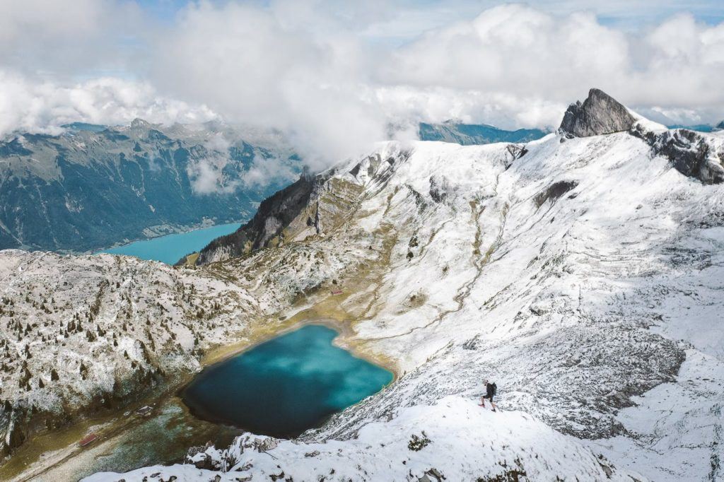
Hiking Mount Niesen: Exploring the Swiss Pyramid
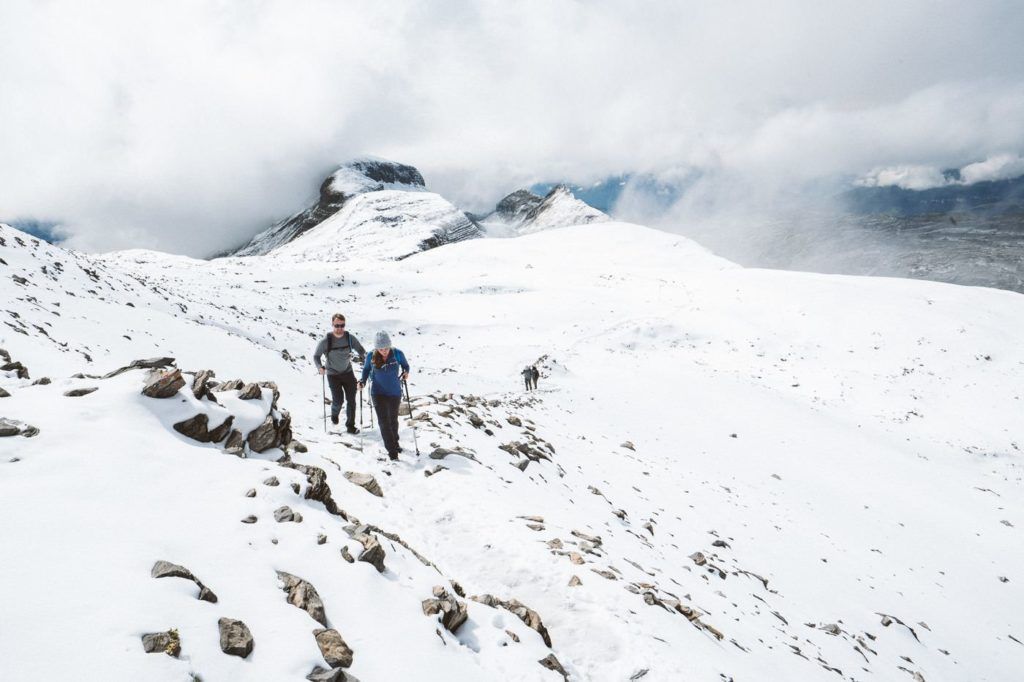
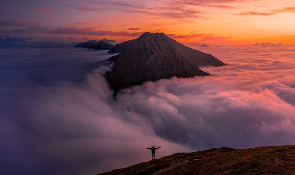
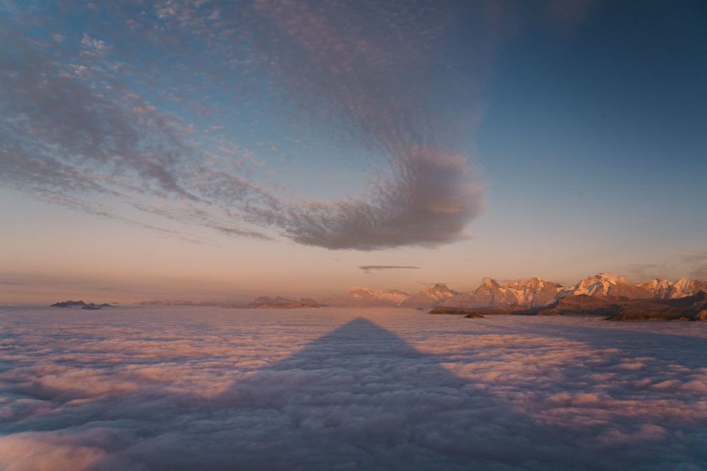
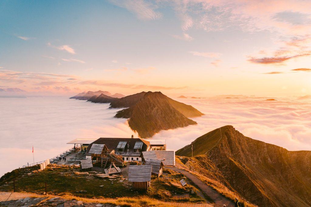
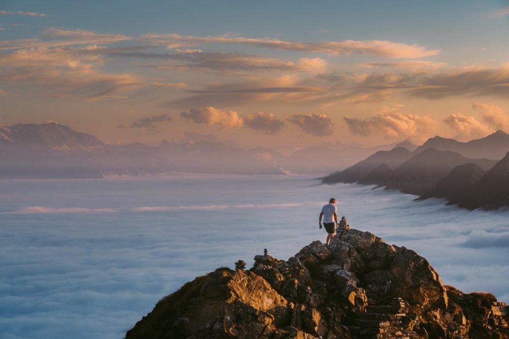
Venturing out for a hike to Mount Niesen turned out to be an unexpected delight, brimming with awe-inspiring moments at every turn. Prior to this journey, I hadn’t heard much about this mountain, but what awaited me was a series of unforgettable experiences. From the heart-racing cable car ascent to the captivating vistas along the panorama trail leading to the summit, and finally, the surreal sensation of being above the clouds at Niesen Kulm Berghaus to witness the sun bidding adieu for the day—each moment was nothing short of magical.
On clear days, the distinct pyramid shape of Mount Niesen emerges, towering above the clouds in a spectacle that truly captivates the soul. The summit, adorned with a charming mountain hut restaurant, offers a perfect perch to take in this breathtaking panorama. Situated just a stone’s throw away from Interlaken in the town of Thun, this peak beckons adventurers with its unparalleled views and serene ambiance. The images captured below capture the silhouette of the pyramid against the backdrop of a setting sun, undoubtedly one of the most mesmerizing sights of my solitary trek in Interlaken.
The hike from Mulenen to Niesen Kulm spans a distance of 7.7 km. Alternatively, one can opt for the cable car journey to the Schwandegg station, positioned midway up the mountain, and then embark on the trek to Niesen Kulm. This was the path I chose, completing the 4.8 km trail with an elevation gain of 646 meters in a brisk 1 hour and 13 minutes. For those with ample time to spare, it’s advisable to set aside 2-3 hours to fully savor the beauty and tranquility of this remarkable hike.
MURREN TO GIMMELWALD VIA FERRATA
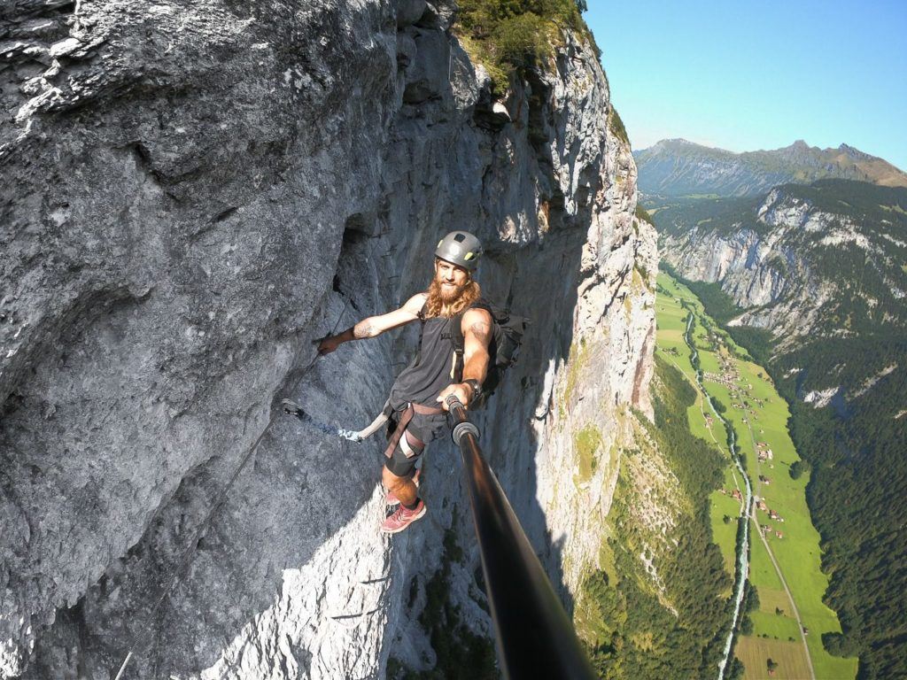
Embark on an unforgettable Switzerland escapade with the Via Ferrata trail that stretches from Murren to Gimmelwald. This thrilling journey invites adventurers to scale ladders and steps perched on the edge of cliffs, offering breathtaking views of Lauterbrunnen, all while securely harnessed in for safety.
For the uninitiated, a Via Ferrata is essentially a route featuring a series of ladders, steps, and rock climbing sections that guide you up a vertical face. Beginning at the Via Ferrata’s starting point, you don a harness and secure yourself to a sturdy wire. Throughout the entire journey, you remain clipped in with at least one connection point, ensuring safety and peace of mind.
Here are the directions to reach the starting point of the Murren Via Ferrata:
- Start your journey from Interlaken, where you’ll catch the train to Lauterbrunnen.
- Upon arriving at Lauterbrunnen, head to the Grutschalp cable car, conveniently located near the train station. This cable car will transport you up to the Grutschalp station.
- At Grutschalp station, switch over to the historic Murren Railway, renowned for its spectacular views of the Eiger and surrounding peaks.
- Upon reaching Murren Train Station, exit to the left. Take a leisurely 10-minute walk, passing Hotel Edelweiss, until you arrive at the sports chalet on your right and Intersport on your left, where you can rent all the necessary gear for your Via Ferrata adventure.
Prepare for an epic journey filled with adrenaline-pumping climbs and awe-inspiring vistas along the Via Ferrata from Murren to Gimmelwald.
BAREGG HUT HIKE WITH OVERNIGHT STAY & HIKE TO SCHRECKHORN HUT
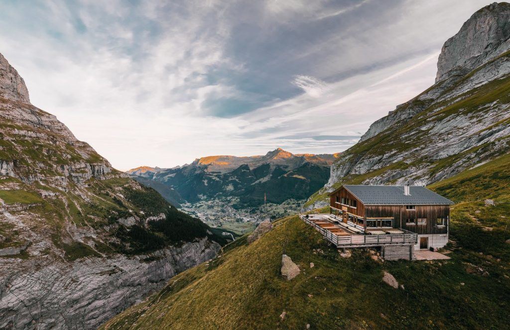
Perched dramatically on the cliff’s edge, with a commanding view of the lower Grindelwald Glacier, lies the Baregg Hut (Bareghutte). A mere 3 kilometers’ trek from Pfingstegg, it stands as an ideal spot for an overnight retreat and a launching point for the journey to the Schreckhorn Hut (Schreckhornhutte). I embarked on this adventure by catching the train from Interlaken to Grindelwald, starting my trek from there and returning the following day. Luckily, my hostel graciously allowed me to stash my belongings in their lockers at no cost.
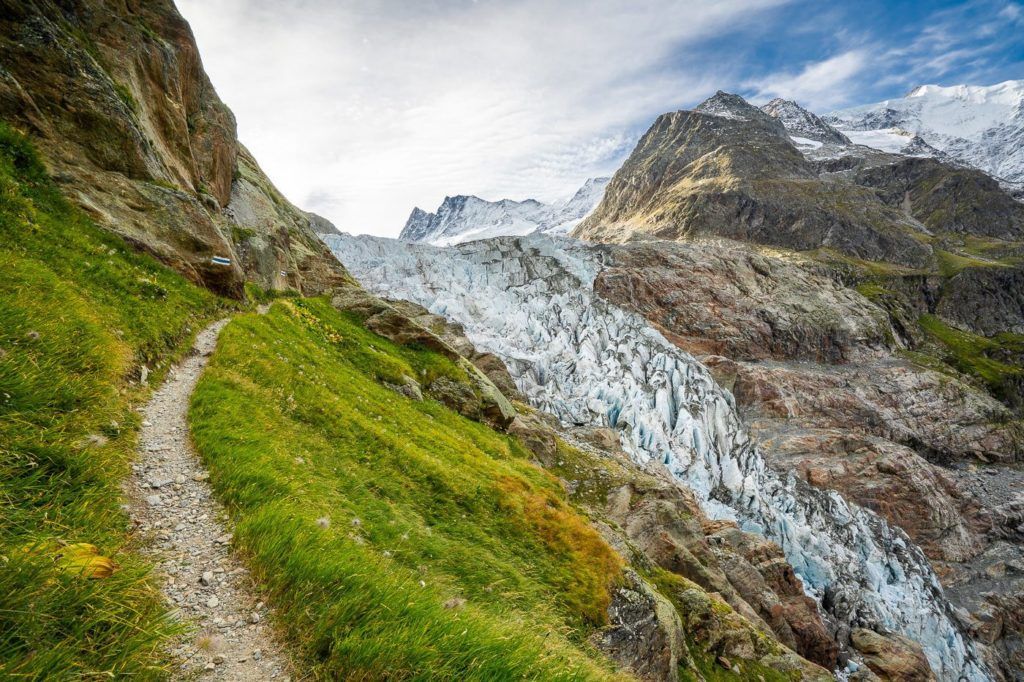
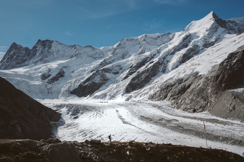
The trail winds its way along the cliff’s edge, tracing the contours of the Lower Grindelwald Glacier—or what remains of it, considering the significant recession it has undergone over the past century and a half. Arriving at the hut in the late afternoon, I quickly dropped off my gear in the dormitory, changed into more suitable attire, and ventured outside to soak in the breathtaking vistas.
Unlike the relatively gentle path from Pfingstegg to Baregg Hut, the journey from Baregg Hut to Schreckhorn Hut presents a bit more of a challenge. Covering a round-trip distance of 12 kilometers, it involves an ascent of over 1000 meters back to Baregg.
Be prepared for an adventure, as the trail includes sections with ladders and cables, adding an element of thrill to the climb. Climbing over 1000 meters itself poses a formidable challenge, but the awe-inspiring views of the glacier, seemingly within arm’s reach along the way, make every step worthwhile.
The initial stretch from Pfingstegg to Baregg Hut spans a modest 2.75 kilometers. However, the subsequent day’s journey to Schreckhorn and the return to Baregg Hut totals 11.8 kilometers, followed by the 2.75-kilometer trek back to Pfingstegg. In total, this expedition covers a distance of 17.3 kilometers, offering a memorable and rewarding alpine experience.
THE EIGER TRAIL HIKE: EIGERGLETSCHER TO ALPIGLEN
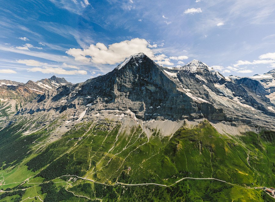
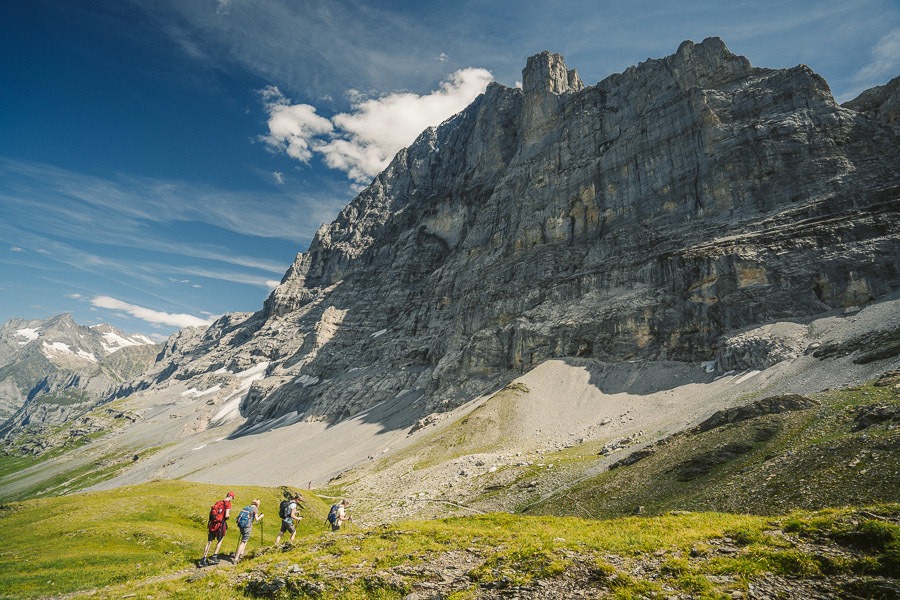
The Eiger Trail hike stands as a beloved path in Switzerland, leading adventurers right beneath the formidable Eiger North Face Wall, renowned as one of the world’s most challenging climbs.
Setting off with a 200-meter ascent stretched over several kilometers, the initial leg proves manageable. Although the Eiger remains unseen at this point, the vistas of the valley and the majestic glacial peaks create an awe-inspiring spectacle in every direction.
About 2 kilometers into the hike, you’ll reach the Eiger viewing point, often accompanied by a small gathering of fellow hikers and perhaps some local cows. Here, you can gaze up at the Eiger Mountain and study the markers indicating the route climbers take to conquer the North Face wall of the Eiger.
Extending 6.5 kilometers from the Eigergletscher Train Station to Alpiglen, the Eiger Trail promises roughly 2.5 hours of trekking. However, with a brisk pace without pauses for photos, completion in under two hours is achievable. For those feeling more adventurous, running the trail could even take less than an hour.
HIKING TO FAULHORN SUMMIT VIA FIRST & BACHALPSEE
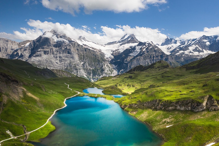
Bachalpsee stands as one of Switzerland’s most breathtaking alpine lakes, enveloped by a tapestry of wildflowers and framed by majestic glacial mountains. What makes this spot truly remarkable is the convenient cable car to First, reducing the journey to the lake to a mere one-hour trek despite its lofty elevation of 2,265 meters. This hike presents one of the most awe-inspiring excursions near Interlaken, promising an immersive experience in the lap of natural beauty.
Hike Details:
- Distance: Following the cable car ascent to First, the hike from First to Bachalpsee spans 3 kilometers one way. Remember, you’ll also be retracing your steps, totaling 6 kilometers for the round trip.
- Duration: The trek entails approximately 2 hours of continuous walking. Factor in breaks for a swim, photo opportunities, and simply soaking in the scenery, and the entire journey typically takes around 3 hours for the return trip.
- Difficulty Level: This hike is classified as very easy, with a well-defined dirt trail throughout. While there are some inclines along the way, they are gentle, totaling an ascent and descent of 188 meters.
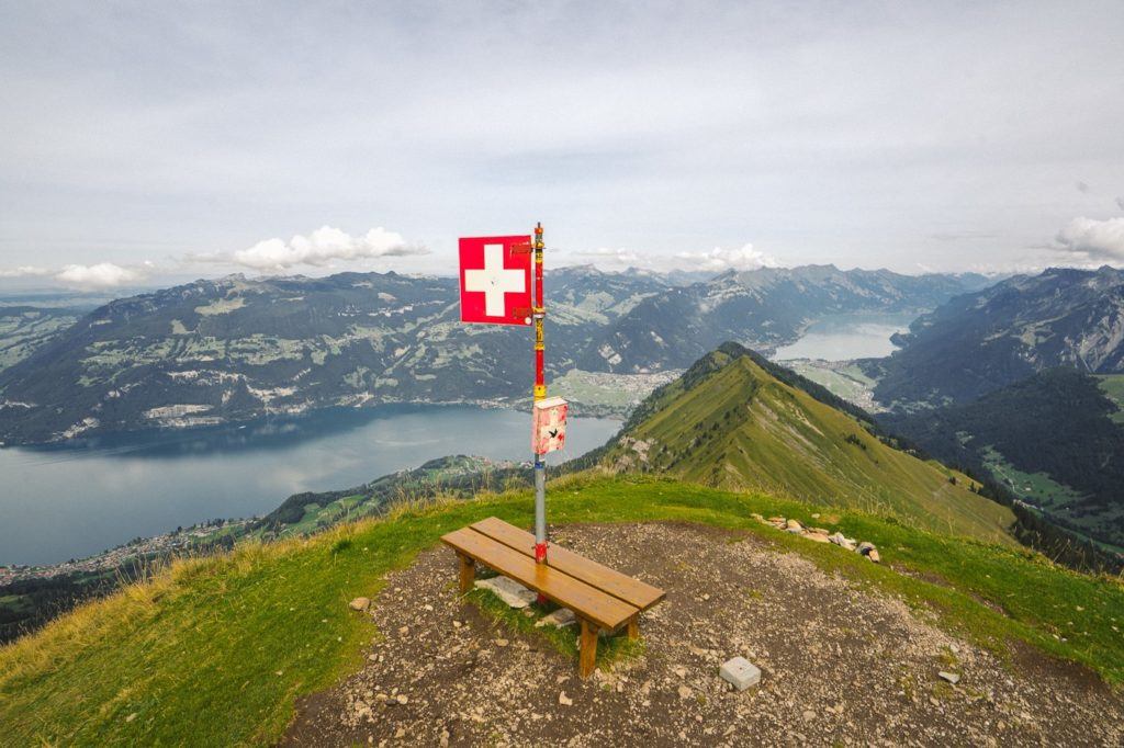
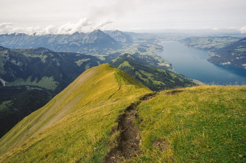
MORGENBERGHORN HIKE: BEST VIEW OF LAKE THUN
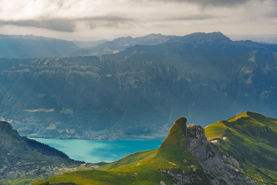
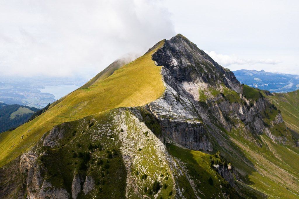
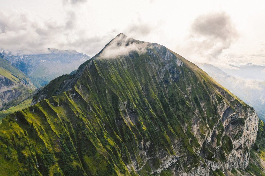
Embark on the thrilling Morgenberghorn Hike, a trail that presents a formidable ascent of 1300 meters. Yet, the breathtaking reward at the top is unrivaled—the panoramic spectacle of Lake Thun, hailed as the finest in the entire region! Conveniently situated near Interlaken, the hike is so close that, upon completing it, I chose to trek all the way back to Interlaken on foot.
This charming trail leads to a magnificent vantage point offering sweeping views of Lake Thun and, on clear days, glimpses of the majestic ‘Big Three’: Eiger, Monch, and Jungfrau.
Covering a total distance of 19 kilometers, the journey encompasses the summit of Morgenberghorn, extending onward to the picturesque town of Wilderswil. While this was the path I traversed, adventurers seeking a shorter trek can opt to return via Aescherid or other nearby descents. Factoring in an additional 1.5 hours of travel time back to Interlaken for those residing there, the overall timing remains quite similar. The choice ultimately lies between strolling back to Interlaken or catching the convenient train ride.
HIKING TO DOSSEN HUT VIA ROSENLAUI GLACIER
Embark on an unforgettable adventure with the challenging Dossen Hut hike, spanning an epic 19 kilometers of T4 Difficulty terrain. This remarkable journey kicks off at the Rosenlaui Glacier, leading hikers up to the mountain hut and down to Innertkirchen. While typically necessitating a combination of train and bus rides from Interlaken, I managed to transform it into an exhilarating day-hike starting from Interlaken.
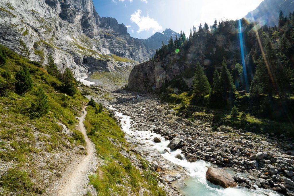
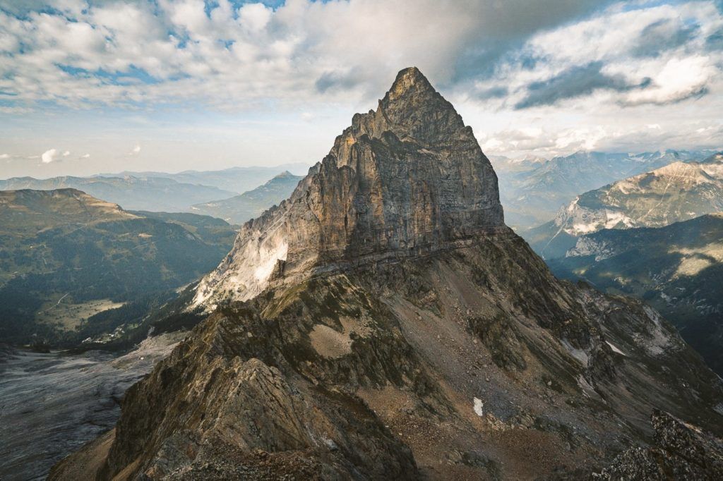
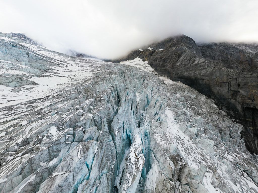
The trail commences by guiding you through a breathtaking canyon adorned with numerous cascading waterfalls. From there, the real adventure unfolds as you tackle the T4 route, navigating rocky slopes with the aid of ladders, ropes, and pegs towards the mountain hut. The payoff? An awe-inspiring panoramic view of the majestic Rosenlaui Glacier awaits at the summit. On the return journey, the path winds back through the canyon on the opposite side of the ridge, offering a different perspective of the stunning landscape before concluding with a train ride back to Interlaken.
While it’s recommended to set aside approximately 8 hours for the hike from the Rosenlaui Hotel to Dossen Hut and then down to Innertkirchen, my personal expedition—detailed in my blog post—saw me completing the trek in 5 hours. However, to reach the Meiringen Train Station, I had to push myself an additional 5 kilometers from Innertkirchen. Thus, although some might complete the hike in under 5 hours, most adventurers should plan for a duration ranging between 5 to 10 hours to fully savor this unforgettable journey.
THE ROTSTOCK VIA FERRATA AT EIGER
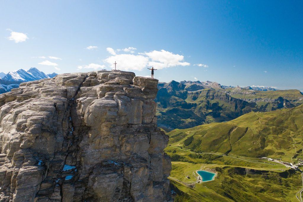
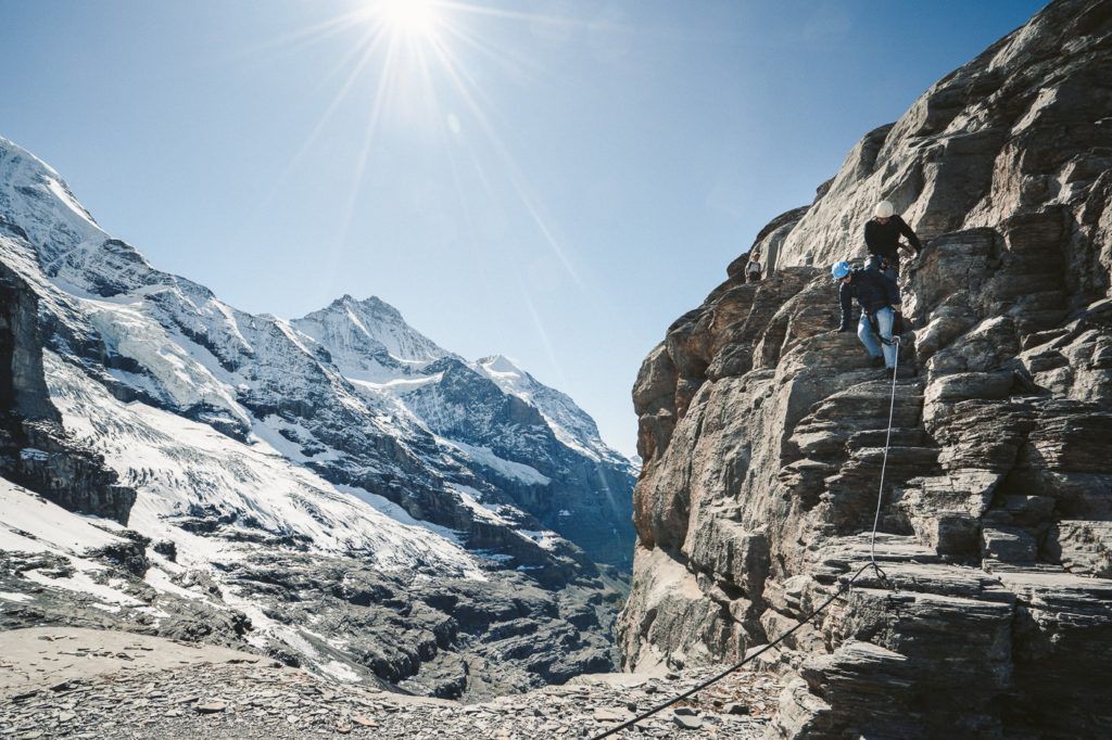
Embark on an exhilarating adventure with the Rotstock Via Ferrata, located right beside the renowned North Face Wall of Eiger. Ascend 400 meters of rugged terrain using a harness, staircases, and metal steps, culminating in a breathtaking 360-degree panoramic vista.
For those unfamiliar, a Via Ferrata comprises a series of ladders, steps, and rock climbs that guide climbers up a vertical surface. Upon commencing the Via Ferrata, climbers secure themselves to a robust cable with a harness. Throughout the ascent, at least one safety clip ensures constant security.
The entire journey covers a distance of 5 kilometers, starting from the Eiger Trail, leading to the summit, and then descending back to the Eigergletscher Station. This unforgettable experience promises both adrenaline-fueled excitement and awe-inspiring natural beauty.
THE NIEDERHORN HIKE: A BEAUTIFUL RIDGE WALK
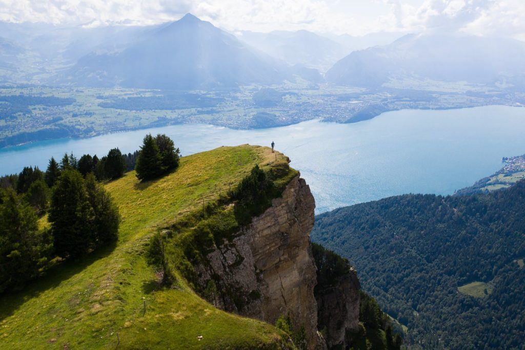
The Niederhorn stands as a popular peak for adventurers seeking a blend of activities and breathtaking views of Lake Thun, situated just a stone’s throw away from Interlaken. Whether ascending via cable car or trekking along the Niederhorn ridge, this locale promises an essential experience for nature enthusiasts.
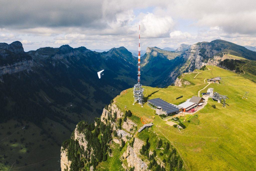
Upon reaching the summit, we found ourselves perched on the ridge, gazing out over the western expanse of Lake Thun, with the tranquility of solitude enveloping us throughout. Our eyes followed the graceful ascent of paragliders (one of which I observed nervously from my drone), surveyed the expanse of Lake Thun, and traced the outlines of quaint huts nestled in the valley below.
Our chosen route led us to board a cable car to the summit, followed by a scenic hike along the ridge, culminating in a descent towards Beatenberg Station, totaling 7 kilometers. For those seeking a fuller adventure, this journey can be tackled in reverse or completed as a loop, covering a satisfying 14 kilometers in total.
HIKING TO GLECKSTEIN HUT AND CHRINNENHORN PEAK
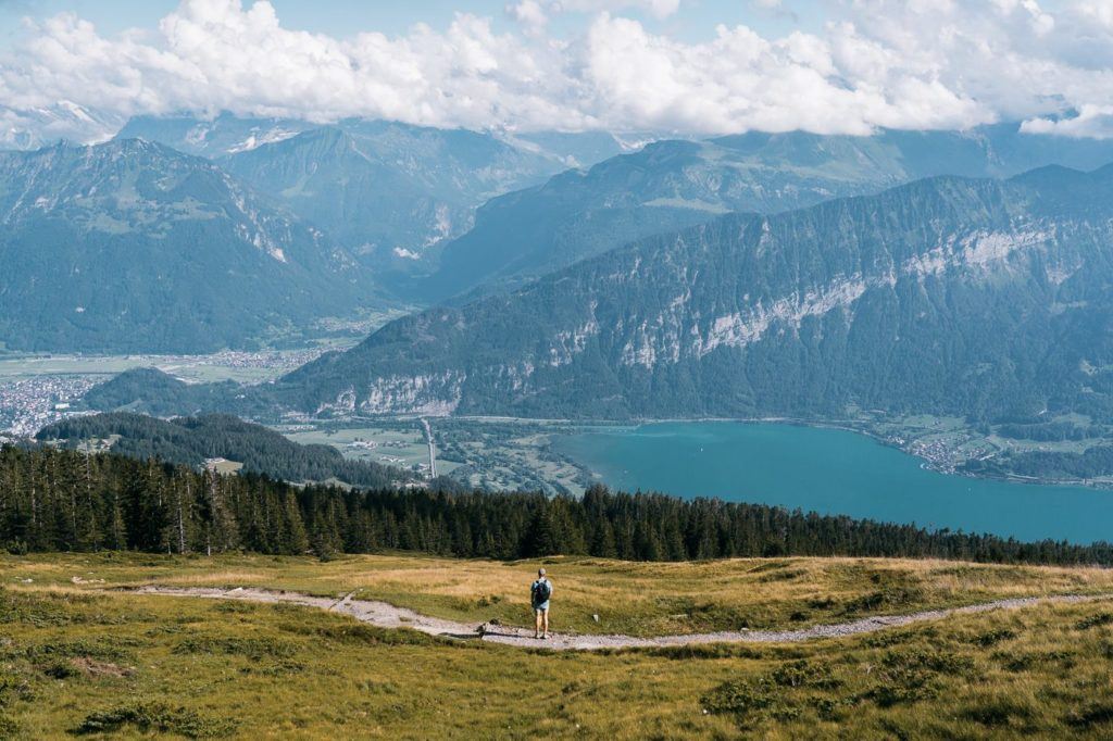
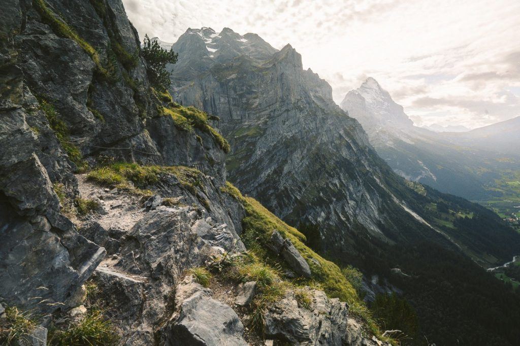
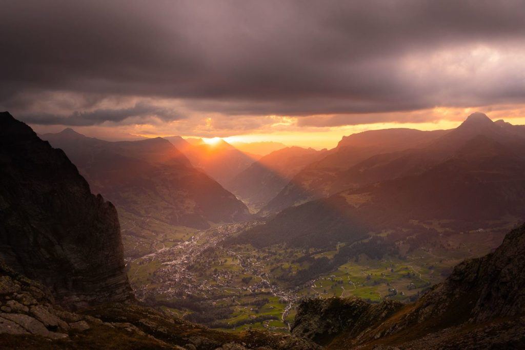
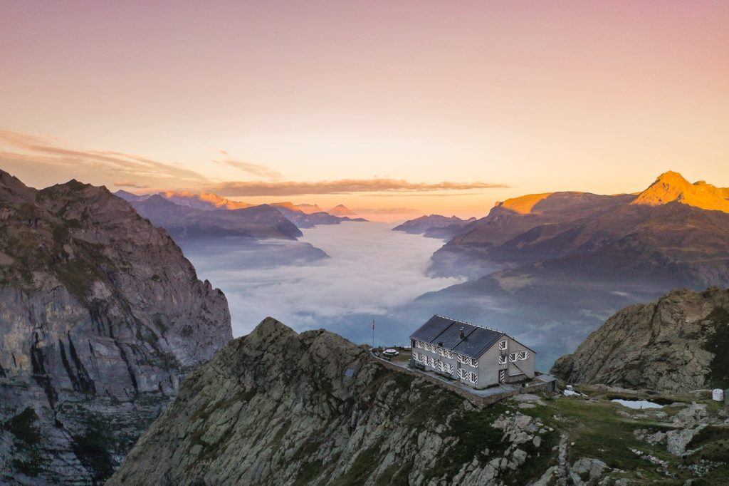
Perched high above Grindelwald, the Gleckstein Hut—also known as Glecksteinhutte—offers an unparalleled vista of the valley below and the majestic glaciers cloaking the mountains beyond. A night spent here promises an unforgettable encounter with both sunrise and sunset, each painting the sky in mesmerizing hues.
Just a few hundred meters above the hut sits the Chrinnerhorn summit, a treat accessible even to those without mountaineering experience. The panorama from this vantage point encompasses the Gleckstein Hut itself, along with the charming town of Grindelwald nestled below.
While the sign suggests a hike duration of 3 hours and 50 minutes, my personal experience was quite different. It took me just 1 hour and 34 minutes to ascend, and 58 minutes to descend the following day. The trail, marked by red-and-white blazes, does feature some exposed sections, but cables have been installed at these points for added safety.
With an elevation gain of 1,100 meters, the hike presents a challenge, yet I observed several seasoned hikers, even among the older crowd, making their way up to the hut. This indicates that a steady, deliberate pace can render the journey manageable for most adventurers.
MURREN TO SCHILTHORN HIKE (PIZ GLORIA)
The journey from Mürren to Schilthorn presents a hearty challenge, with an ascent of 1600 meters along the trail to the Piz Gloria summit, famous as a filming location for James Bond ‘007’. Yet, the view from the summit offers a breathtaking reward for the effort. A must-experience treat awaits at the revolving restaurant, where you can indulge in a comforting bowl of soup amidst panoramic views that stretch in all directions. To make the most of this adventure, it’s wise to set off early from Interlaken, allowing ample time for the hike and a return trip within the same day.
In contrast, the path from Mürren to Rotstockhütte proves more manageable, offering a relatively easy trek. The route mainly comprises dirt paths, with occasional intersections of rocks. Families can comfortably navigate their way up to Rotstockhütte, as the elevation gain remains modest at 300-400 meters.
However, the journey from Rotstockhütte to Schilthorn takes on a markedly different character. Here, the trail becomes steep and demanding, with an ascent of over 1000 meters within a few short kilometers. Prepare for a vertical climb up the mountain, scrambling over rocks along the way. Despite the challenge, the trail remains safe, with no perilous drop-offs to concern hikers. If you’re up for the steep incline, the remainder of the trail should prove less daunting.
The total distance from Mürren to the summit of Schilthorn measures 12.9 kilometers. Opting to hike down will add a few extra kilometers, but we chose to descend via the Schilthornbahn to Mürren—a delightful conclusion to a day well spent amidst stunning alpine landscapes.
HIKING TO LAKE BACHALPSEE FROM GRINDELWALD/FIRST
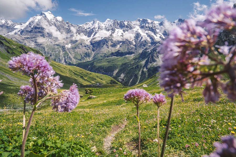
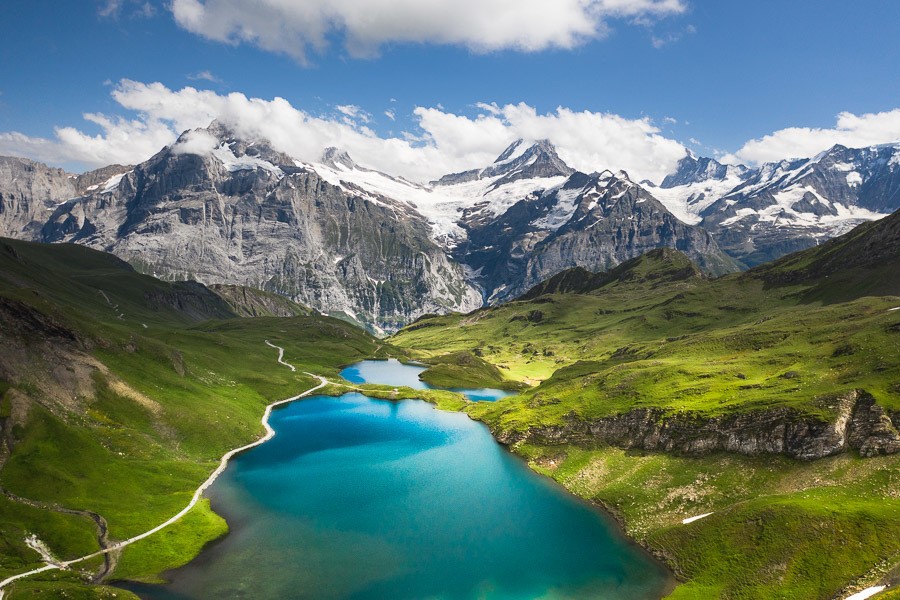
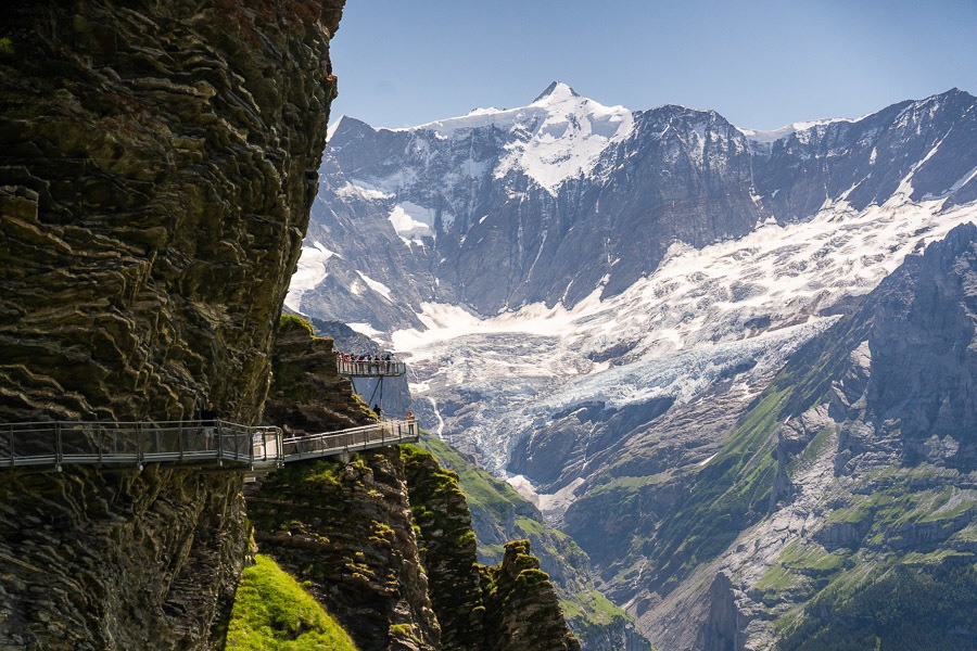
Nestled amidst the Swiss Alps lies the breathtaking Bachalpsee Lake, a true gem of nature’s artistry. Surrounded by a vibrant tapestry of wildflowers and framed by majestic glacial peaks, this alpine lake is a sight to behold.
What sets Bachalpsee apart is its accessibility. Thanks to a convenient cable car leading to First, reaching this picturesque lake is a mere one-hour trek from the First station, despite its lofty altitude of 2,265 meters.
Considered one of Switzerland’s most spectacular lakes, Bachalpsee promises an unforgettable experience for hikers near Interlaken. Whether opting for the quick cable car journey or embarking on a more adventurous trek, such as the Schynige Platte to First route, the beauty of Bachalpsee awaits.
The hike from First to Bachalpsee spans a scenic 3 kilometers one way, totaling 6 kilometers for the round trip. Each step brings you closer to the serene waters of this natural wonder, a testament to the awe-inspiring landscapes of Switzerland’s alpine paradise.
AUGSTMATTHORN HIKE FROM HARDER KULM
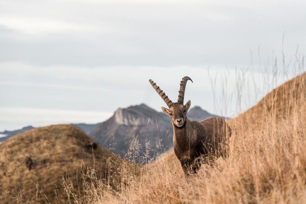
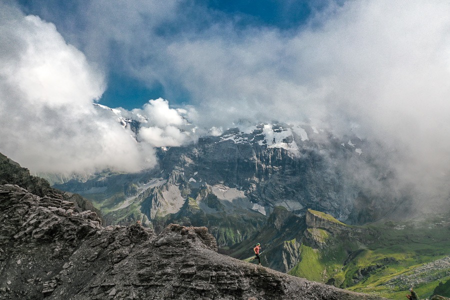
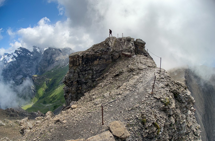
Augstmatthorn stands proudly along the majestic Hardergrat Ridge, offering unparalleled views and a unique encounter with the resident Ibex colony. While numerous paths wind their way to the summit, the most popular route begins at Harder Kulm and traverses the ridge to reach the pinnacle.
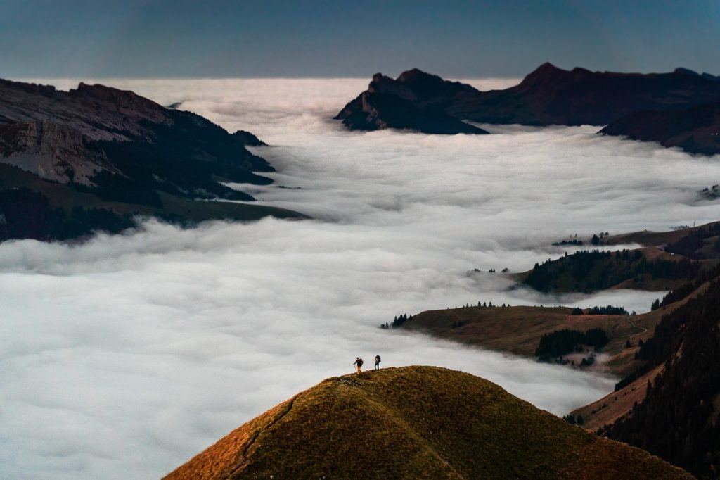
From the heights of Augstmatthorn, the vista was simply breathtaking, with billowing clouds beneath our feet. The sweeping panorama unveiled the rugged beauty of the Hardergrat ridge, the serene waters of Brienzersee stretching into the distance. Amongst these vistas, the Ibex colony moved gracefully, unperturbed by the presence of hikers. Witnessing these remarkable creatures in such a remarkable setting was truly enchanting. Undoubtedly, this trail ranks among the finest in Interlaken.
The trek from Harder Kulm to Augstmatthorn, and then onwards to Habkern, spans 16 kilometers. Upon reaching Habkern, a bus awaits to ferry weary hikers back to their lodgings. For those opting for the round trip from Harder Kulm, an early start is advised to catch the last train back to Interlaken, ensuring a seamless adventure amid these picturesque peaks.
